Adair County Conservation

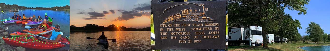
Canoeing & Kayaking
Historic Visits
Swimming
Trails & Hiking

Leading You Outdoors
Adair Conservation - Family of parks and trails. Learn more at the link below!
Adair County Conservation
Adair County Conservation
Adair Conservation - Family of parks and trails. Learn more at the link below!
Adair County Conservation